


UPCOMING RUNS:
April 2024
28
April
Sunday
May 2024
05
May
Sunday
12
May
Sunday
17 -
21
May
Friday
No event found!
JUST A LITTLE VIDEO


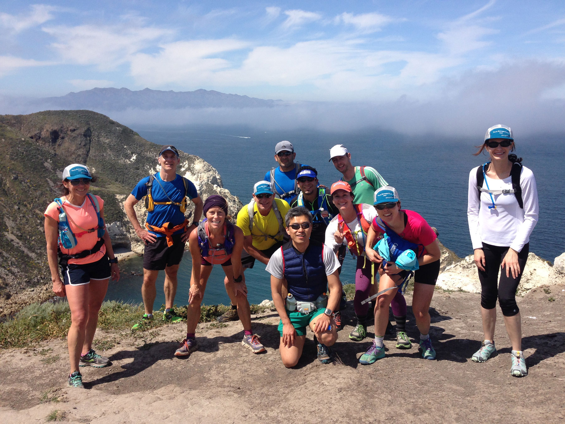
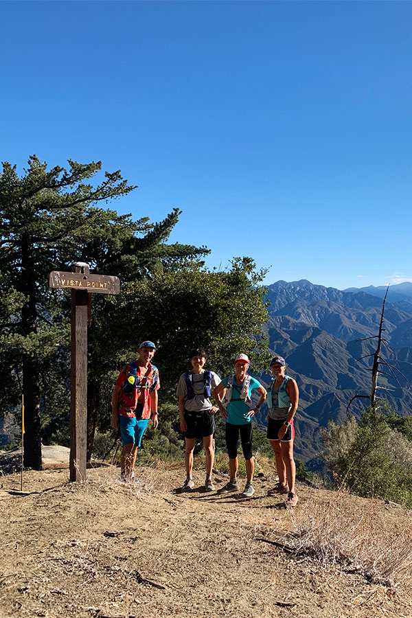
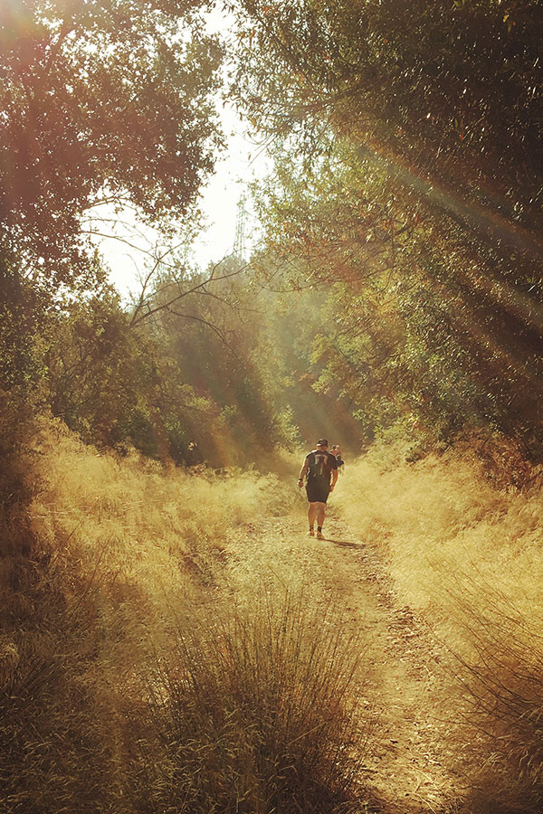
What's it like to run to the top of a mountain? Hard, but it's a lot of fun and challenges your entire body as you wind through the gorgeous single track, fire roads, and back country. Trail running is completely different than running on roads. What the video to see a snippet of a group running near the top of Mt. Wilson.
11mi.
AVERAGE
RUN
52
RUNS PER
YEAR
1600ft.
AVE WEEKLY
ELEVATION GAIN
76+
UNIQUE
TRAILS